


La colline de Cabredor les Arcs sur Argens, 17-01-2025

Christiancordin
User

Length
16.5 km

Max alt
176 m

Uphill gradient
518 m
Km-Effort
23 km

Min alt
29 m

Downhill gradient
521 m
Boucle
Yes
Creation date :
2025-01-17 08:12:11.994
Updated on :
2025-01-17 18:18:12.697
4h07
Difficulty : Medium

FREE GPS app for hiking
 SityTrail
IGN / Geographical institutes
SityTrail Plus
The world is yours!
About
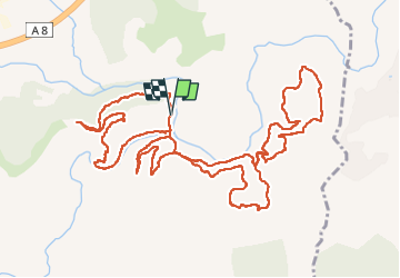
Trail Walking of 16.5 km to be discovered at Provence-Alpes-Côte d'Azur, Var, Les Arcs-sur-Argens. This trail is proposed by Christiancordin.
Description
D PK du pont de la Tournavelle, l'Argens, Apié de Raybaud, l'Aille, pont de fer, le jas des Maures, tour de la colline du Cabredor, retour PK en longeant l'Argens.
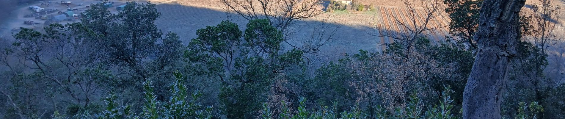
Photos


Positioning
Country:
France
Region :
Provence-Alpes-Côte d'Azur
Department/Province :
Var
Municipality :
Les Arcs-sur-Argens
Location:
Unknown
Start:(Dec)
Start:(UTM)
298524 ; 4812056 (32T) N.
Comments